01
Begin with a clear, accurate base
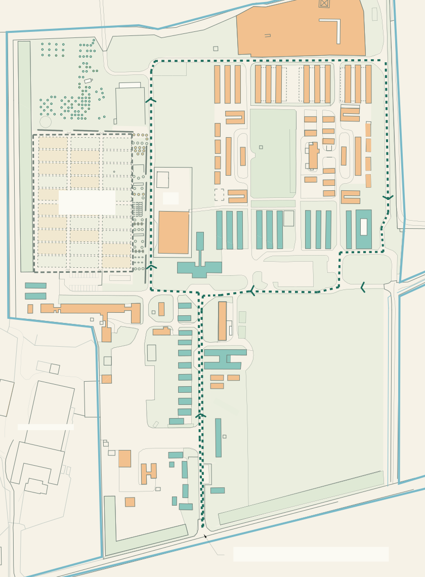
Retain the site outline, entrances, road structure and relative landmark positions; omit facilities-management detail.
Historic EnglandThe new default keeps the formal map as its spatial skeleton, then lifts visitor landmarks above a quieter hut layer. The more radical concepts remain available as useful comparisons—not replacements for the underlying geography.
The old “Museum” text position on the 2021 plan is no longer being used as the destination marker.
Five answers to the same brief, beginning with a new evidence-led compromise: recognisable geography first, then selective emphasis.
Keep the real site outline, road spine, hut groupings and relative positions—then enlarge only the landmarks and decisions a visitor needs.
The formal plan remains the spatial truth. Colour, scale and labels tell visitors what deserves their attention.
The best halfway house is not an even blend of technical plan and illustration. It is an accurate spatial skeleton with a ruthless, audience-specific information hierarchy.
Retain the site outline, entrances, road structure and relative landmark positions; omit facilities-management detail.
Historic EnglandDesign each physical board for its installation point and show only what helps the visitor move from that point.
US National Park ServiceUse route confirmation at junctions and turns, supported by views, landmarks and a clear road hierarchy.
Active Travel EnglandKeep colours, symbols and place names consistent between the entrance map, signs, tenant links and print.
Transport for LondonUse large-print labels, strong contrast and pictograms; do not rely on colour alone to distinguish destinations.
Department for TransportA personalised map is a miniature journey, not a highlighted estate plan. Select a sample destination to see the same data expressed in three formats.
The destination dominates; only useful decisions survive.
A visual sentence that can be read in seconds.
Identity first; reassurance plan second.
Sample tenant destination
Optional detailed inset for final reassurance only.
Use A: Accurate skeleton + landmark lift as the visitor welcome board, with D: Choose your visit as its entrance-side index. For tenant links, generate 01: Three-turn spotlight with a small source-plan inset available only as reassurance.